
Welcome to http://FMaps.sourceforge.net/
The ultimate GIS/RS Gnome Project. (We all hope!)
FMaps is here to answer the lack of user friendly opensource GIS/RS (Geographic Information System/ Remote Sensing) application on the Linux and Gnome compatible platforms.
There are numerous GIS/RS application developed for the Unix platform, but they are either expensive, either the user interface was not a prime requirement of these applications. Opensource GMT and GRASS are great applications but with poor user interface. A complete list can be found on www.freegis.org or www.remotesensing.org.
For the moment this project is its childhood, and has been released in its early stage to bring user support and more important developer support as soon as possible. You the have a real chance of making this project to your liking by suggesting as much as ideas as you want on the developer mailing list. You don't even have to code stuff!
GUI:
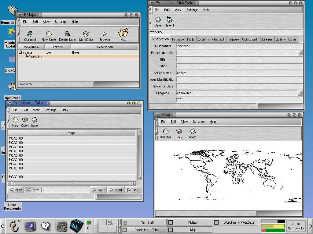
FMaps is developed using the GTK+/Gnome toolkit. To speed up development, Glade is used to design the user interface allowing programmers to concentrate on code rather than complicated GUI calls. The whole application is in C. It is supposed because of the nature of GTK and Gnome that this application could be run on other platforms than Lunix: Unixes, Windowses,... If you feel to do a port please contact us through the developer mailing list.
Database:
The database engine is PostgreSQL. PostgreSQL is an opensource SQL server. The choice of this SQL server over others like mSQL and MySQL, is that first it is free, secondly the implementation is much more advanced than others opensource SQL server. For instance PostgreSQL includes arrays as valid data types. Arrays are important to store sets of coordinates. Though a user defined type may be created to follow more closely the opengis specifications. A SQL server provides multi-user secure access to data over networks, this is a unique advantage over proprietary developed database files.
Metadata:
FMaps will follow the GIS/RS metadata guidelines of the FGDC or the ANZLIC. The ANZLIC standard is simplier than the FGDC standard. However an ISO standard for GIS/RS metadata is in preparation.
Data:
The opengis consortium has released a set of guidelines for databases and GIS/RS applications to store and manage GIS/RS data. These guidelines will be followed as much as possible, but total compliancy will be difficult to acquire as first the membership is not free, secondly implementation specifications haven't been released, thirdly it seems some parts are missing...
The data should include native 3D objects and Time information. It will allows to draw native 3D maps important for mining, water resources, and timed series important for geologists, statisticians.
The Widget:
The application will use a specially developped GTK widget for map rendenring. This will allow the reuse of the widget in other applications and may be facilitate CORBA integration (I have no idea how to implement CORBA, but it seems neat, though.). Use of OpenGL or rather its free implementation Mesa3D will be the underlying display engine of the widget. The widget is surprisingly called gtkfmaps!
Datum/Projections:
Several C libraries are available to perform datum projection convertion. Using these libraries can be difficult has they do not include the concept of 3D coordinates. Rewriting the libraries or using snippet code or creating a new library is envisaged.
Topology:
Topology in GS vector data is important to improve the range and speed of queries available. However this is not easy to implement. We shall see...
RS:
Most of the GIS systems do not mix well raster with vector and remotesensing functionalities. Remote Sensing applications are becoming more and more important due to the availabilty of low cost high resolution satellite images. This domain is no more reserved to highly skilled professionnals. In a first stage FMaps will include images as a backdrop then an analysis module will be developped.
Scripting:
A GIS/RS application must give users the possibility to script procedures. GMT and GRASS are based around scripting. An interface to the FMaps API should be developped to allow scripting. A widely used scripting language should be used, Perl, Php, Python,... No preferences for the moment, may be all should be able to interact... It is important that this feature be implemented as early as possible, so developers needed...